How stronger monitoring systems are supporting efforts across the country to protect and restore carbon-rich peatland landscapes.
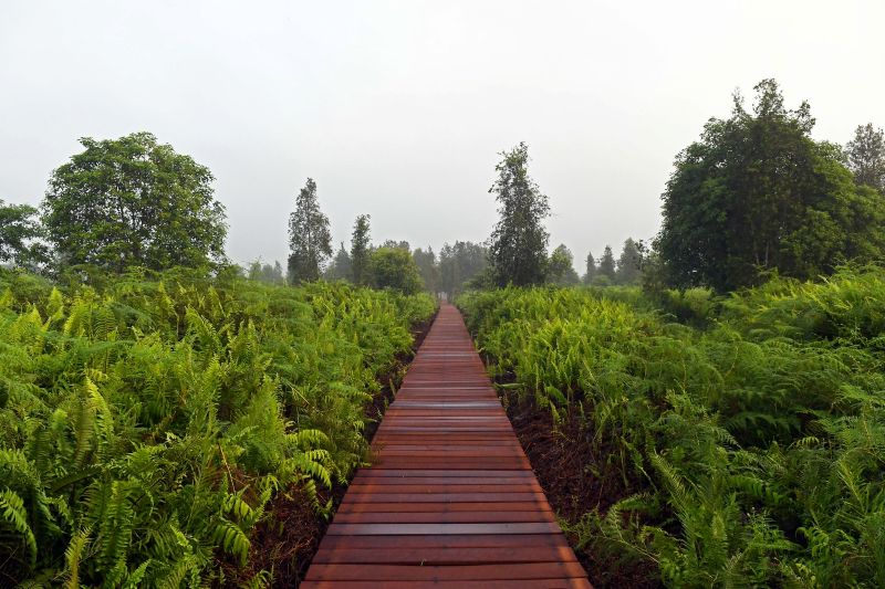
Peatlands may look like forests or wetlands, but much of their climate value lies below the surface. Their waterlogged soils have accumulated and stored carbon over thousands of years. When peatlands remain wet and healthy, they regulate water, support biodiversity and keep carbon locked underground. When they are drained, degraded or burned, they can become a major source of greenhouse gas emissions, fire and haze.
This is why peatland action starts with water and why monitoring peatlands requires more than tracking tree cover. Understanding soil moisture, groundwater levels, fire risk and rewetting progress is essential for restoring peatlands, reducing emissions and strengthening climate reporting.
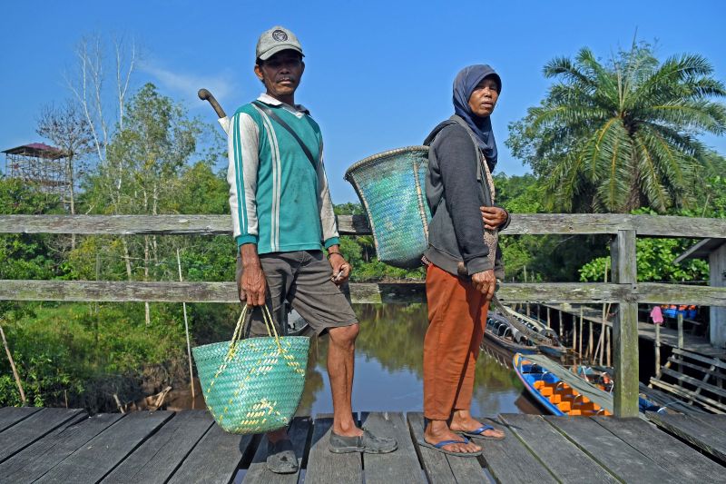
In Indonesia, home to some of the world’s most extensive tropical peatlands, this work is especially important. The country’s peatlands are critical for climate mitigation, biodiversity, water regulation and local livelihoods, but many have also been affected by drainage, land-use change and fire.
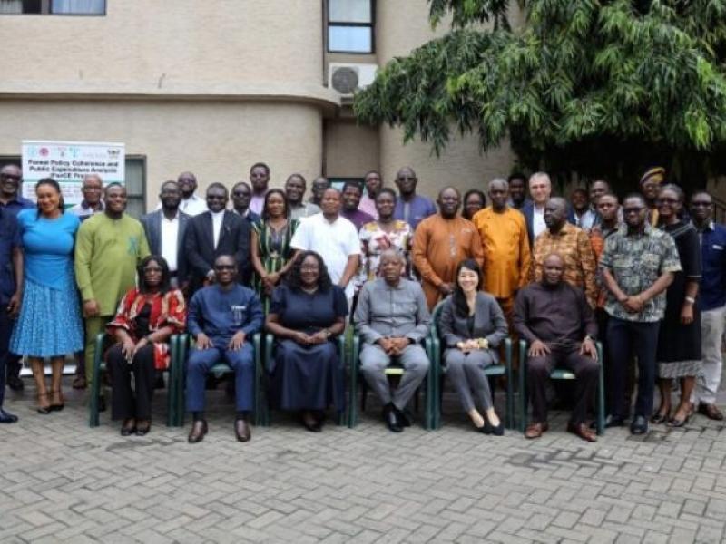
On International Peatlands Day, observed on 2 June, let’s look at how in two provinces of Indonesia technical work on peatland monitoring is helping build the foundations for stronger climate action – from field measurements and satellite tools to REDD+ readiness systems.
In Central Kalimantan, FAO and the UN-REDD Programme worked with the Borneo Orangutan Survival Foundation (BOSF) and partners to improve understanding of how peatland soil moisture can be monitored from the ground and from space. The work focused on the Kapuas-Barito peat dome, a 309 000-hectare peatland hydrological unit shaped by different levels of degradation, fire history, drainage and rewetting efforts.
Across this landscape, BOSF and partners collected long-term groundwater-level data through approximately 70 km of transects and more than 370 dipwells. FAO used this field dataset to explore how FAO's SEPAL Soil Moisture Mapping tool could be improved and interpreted for tropical peatland monitoring.
The work showed that satellite-based tools can help detect spatial and seasonal changes in peatland moisture across large and often difficult-to-access landscapes. It also showed that field data remains essential: groundwater levels and soil moisture are connected, but their relationship changes depending on vegetation, drainage, degradation and other ecological conditions. For peatland monitoring, the combination of satellite information and ground-collected data can support better understanding of fire risk, rewetting impacts and carbon-emissions estimates.
In Riau Province, FAO is continuing to apply the same principle - stronger data for stronger action – through its support to the UN-REDD Programme’s GREEN for Riau initiative, implemented by UNEP and FAO and funded by the United Kingdom. Riau is one of Indonesia’s most important peatland provinces, with almost five million hectares of carbon-rich peatlands.
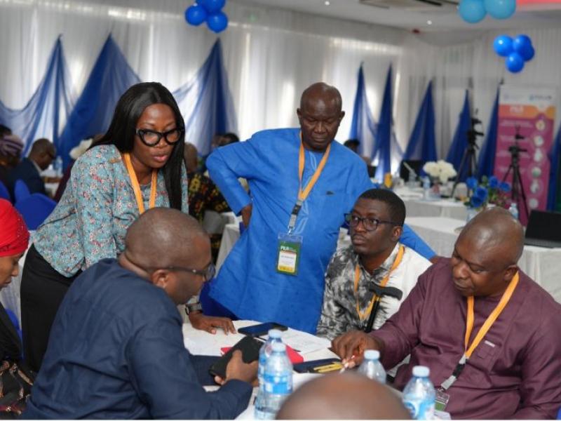
While supporting broader planning and strategic implementation, FAO’s in depth contribution in this initiative focuses on strengthening Measurement, Reporting and Verification (MRV) systems and developing a subnational Forest Reference Emission Level (FREL). This includes support on institutional readiness, activity data, emission factors, peat decomposition, peat fires, carbon stock estimation and uncertainty assessment.
This work also complements the preparation of the Green Peatland Economy (GPE) initiative in Indonesia, supported through the Green Climate Fund’s Project Preparation Facility. GPE aims to support the transformation of peatland land use in Indonesia by reducing greenhouse gas emissions, strengthening the resilience of communities and preserving peatland ecosystems. Its proposed approach includes rewetting landscapes, scaling up zero-drainage peat economic models, strengthening institutions and developing financing solutions for sustainable peatland management.
At the regional level, FAO is also supporting peatland fire measurement through FAO’s Technical Cooperation Programme in Southeast Asia, aimed at developing and piloting methods to measure peatland fire area, depth and emissions using remote sensing and field-based techniques.
Together, these areas of work are connected by a common objective of strengthening the information, systems and enabling conditions needed to support effective peatland management, which ultimately can help local communities by supporting peatland restoration, reducing fire and haze risks, protecting water resources and informing more sustainable land-use decisions.