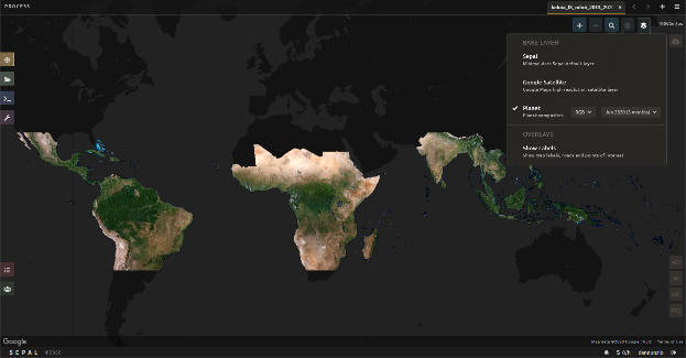
In recent years, a wealth of newly accessible public datasets and satellite imagery, together with the exponential increase in online tools and mobile applications available to process this data have had a significant positive impact on the way land cover changes are monitored.
This trend towards more transparent public data reached a new milestone in September, 2020, with the launch of the Planet imagery program by Norway's International Climate and Forest Initiative (NICFI). The goal of the initiative is to provide universal access to high-resolution satellite monitoring of the tropics. With financial support from NICFI, the Planet dataset has been rapidly integrated into FAO’s in-house Open Foris suite of open access tools in order to boost national capacities in monitoring natural resources. Under the UN-REDD Programme, several countries are already moving ahead with integrating this new data into their National Forest Monitoring Systems for a wide range of applications.
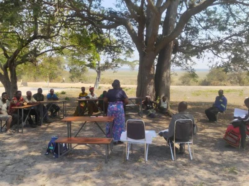
The Republic of the Congo launched the process of preparing its Third National Communication to the United Nations Framework Convention on Climate Change (UNFCCC) in June 2020. The National Forest Inventory and Management Centre (CNIAF), supported by the UN-REDD Programme, the Coalition for Rainforest Nations (CfRN) and the US Forest Service (USFS), aims to compile a full inventory of Greenhouse Gas (GHG) emissions and removals in the Agriculture, Forestry and Other Land Use (AFOLU) sectors.
This national-scale data collection exercise will rely on the provision of regular, cloud-free images of high spatial resolution that Planet can provide to help assess changes in land cover and land use. Planet is particularly helpful in the national context of Congo, where persistent cloud cover often prevents reliable and consistent interpretation of images by operators, in order to determine whether, and how, changes in land cover and use have occurred at each location.
The KSAT/Airbus/Planet dataset, available in Collect Earth Online (CEO) tool, will enhance the interpretation of samples by providing the necessary spatial and temporal resolution images: “Having access to more accurate information on land transition will be a game-changer”, says Carine Saturnine Milandou, head of the CNIAF. “In addition, the procurement realized by NICFI gives us some perspective for the coming years and will enable us to regularly update our information on the AFOLU sector. It will be possible to monitor our progress towards our NDC targets”.
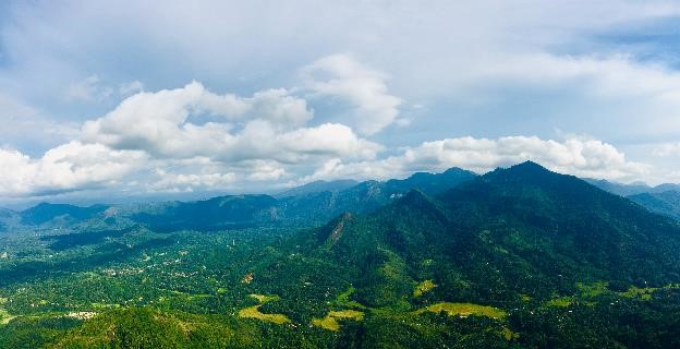
Across the forests of the Lower Mekong region, it is generally difficult to distinguish timber that has been extracted legally and sustainably, in accordance with national laws and international guidance on Sustainable Forest Management (SFM), from timber that has been sourced illegally or unsustainably. The fast-growing wood processing industry, particularly in Thailand and Viet Nam, increasingly requires assurances of the legality of timber sources. It is, therefore, critical to effectively tackle forest crime and improve information on extraction and forest management, particularly in source countries like Lao People’s Democratic Republic, Cambodia and Myanmar. This will help support the expansion of a responsible and legal timber trade, and thus reduce greenhouse gas emissions from unsustainably managed forests.
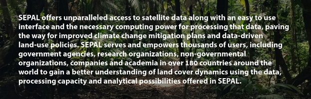
Under the UN-REDD Programme in the Lower Mekong region, FAO is developing Near Real-Time (NRT) monitoring systems fuelled by the SEPAL platform. These systems harness high-performance, cloud-based computing and modern, geospatial data infrastructures. The program is building national capacities to use these systems to regularly track forest operations and take preventive action against illegal or unsustainable activity. The two major constraints to establishing NRT systems at sub-national scale are limited access to regular satellite data and limited ground validation. The high-resolution Planet dataset will enable countries to validate information on changes in forest cover or conditions before sending officers to the field for ground validation. Systematic high-resolution images will be used to screen reported changes. Selected points will be checked for ground validation initially to validate accuracy and reduce groundwork over time.
In Peru, the Ministry of Environment (MINAM) and the Forest and Wildlife Service (SERFOR) are receiving support from the UN-REDD Programme to prepare its 2nd Forest Reference Emission Level (FREL) for the Amazon region. This is a joint endeavour with FAO to establish the benchmark for estimating the performance in implementing REDD+ activities. Peru took advantage of the recently available high-resolution imagery from Planet to improve its estimates of deforestation activities from 2007 to 2019. Peru is using a sample-based area estimation approach that uses high-resolution imagery to validate sampling points from a systematic grid with the Collect Earth Online (CEO) tool. One of the great advantages of the Planet imagery is that it not only offers cloud-free composite mosaics, but it also provides the dates associated with those images, giving the country relevant information to analyse land use cover changes.
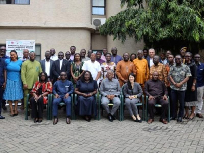
These initiatives illustrate how the UN-REDD Programme will use Planet data over the coming years to support countries in the development of more robust, transparent and accurate National Forest Monitoring Systems. With this unprecedented availability of high-quality data, countries are now better equipped for a successful battle against deforestation and climate change.