
by Cecilia Antonini, Boipelo Tshwene-Mauchaza and Charlotte Hicks
Navigating data and information systems for forests
FAST READ
-
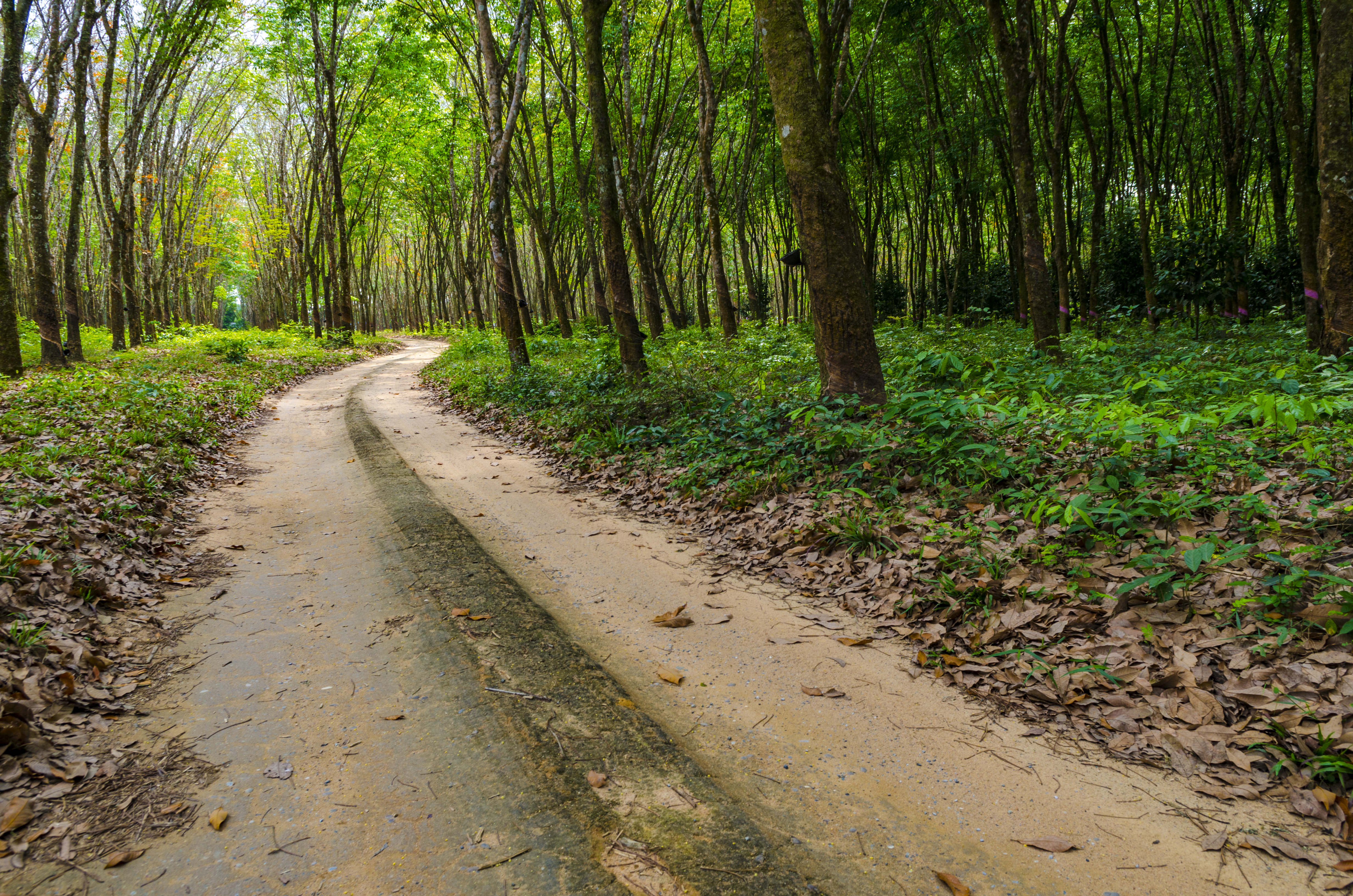
Monitoring forests is important to track how changes in the ecosystem are affecting environmental, social and economic outcomes. However, data on forests – especially related to biodiversity, ecosystem services and local management and use of forests – is often difficult to collect and access at national and local scales.
-
In this article, authors Cecilia Antonini, Boipelo Tshwene-Mauchaza and Charlotte Hicks unveil how the UN-REDD Programme’s Lower Mekong Initiative works with countries to assess and improve information systems and datasets focused on tracking changes in forests.
-
As part of the initiative, UNEP-WCMC has put together a set of global and regional platforms, datasets and tools to support the exploration and monitoring of environmental and social outcomes in the forest sector.
To halt and reduce deforestation and forest degradation, robust systems for monitoring and reporting must be put in place. The use of global and regional datasets, platforms and tools can support this process.
The UN-REDD Programme’s Lower Mekong Initiative works with countries to assess and improve information systems and datasets focused on tracking changes in forests, as well as environmental and social outcomes in the forest sector. By making digital platforms and data more accessible, the project has the potential to help governments, development agencies and the private sector to fill gaps in their data and better understand the diverse ecosystem services provided by forests.

Why monitor environmental and social outcomes in the forest sector?
The monitoring of forests is important to track how changes in the ecosystem are affecting environmental, social and economic outcomes.
This information is also essential for understanding the impacts of actions in the forest sector. For example, strengthening the protection of natural forests may lead to positive impacts on forest health, biodiversity and ecosystem services; but at the same time, restricting access to forests may have negative impacts on people who depend on forests for resources and livelihoods.
However, it is these kinds of data – especially related to biodiversity, ecosystem services, and local management and use of forests, including by women and other stakeholder groups – that are often difficult to collect and access at national and local scales.
As part of the Lower Mekong Initiative, UNEP-WCMC has put together a set of global and regional platforms, datasets and tools to support the exploration and monitoring of environmental and social outcomes in the forest sector. The [future] online repository includes more than 50 tools and platforms that can help users to visualise trends, access proxy data not always available nationally, combine multiple datasets for analysis, and more.
Monitoring environmental and social forest trends can help countries and other stakeholders to:
- identify whether policies or actions in the forest sector are delivering on key national objectives (e.g. improving biodiversity conservation, meeting economic development targets);
- understand how trends in the forests are affecting communities and local stakeholders;
- provide information for reporting on international commitments (e.g. reporting to the Convention on Biological Diversity);
- provide information on the quality of forest management and production which can help, for example, with forest management and timber certification schemes; and
- identify needs for improving the sustainability and implementation of forest policies.
EXAMPLE: MAPPING NATURE FOR PEOPLE AND PLANET IN CAMBODIA
Cambodia makes a compelling case for how global data sources can complement national data and result in spatial data that can be used to guide progress on national and global commitments.
In mid-2021, the Ministry of the Environment in Cambodia brought together over 40 scientists and environmental policy experts to identify the top 10 commitments related to nature, climate change and sustainable development for which spatial data and maps could support more effective implementation. This resulted in the development of a map of Cambodia’s Essential Life Support Areas (ELSA): a map of areas that show where actions to protect, manage, and restore nature which could lead to the achievement of the 10 priority policy commitments.The map also support Cambodia to identifies which location where nature-based actions can protect key biodiversity and provide humans with critical ecosystem services, such as food, fresh water, carbon storage and disaster risk reduction.
The ELSA map will be based on national and global datasets on agriculture, carbon, protected areas, forests, and other data linked to policy commitments identified by the stakeholders. The map will also form an important tool to support the development of the Cambodia Environment Management Information System (CEMIS), a central spatial data platform for managing, analysing and distributing environmental information that will help as strategic information for decision-makers.
The more than 50 global and regional datasets, platforms and tools featured in the repository cover a wide range of topics and data types, from measures of biodiversity to distribution of water resources, land use change, types of land tenure, demographic trends, and gender equality, among others. Examples of resources in the repository include:
Planet
Planet, a satellite imager program under Norway’s International Climate and Forests Initiative (NICFI), provides high-resolution mosaics of the world’s tropics, aimed at supporting reduction in the loss of tropical forests, combatting climate change, conserving biodiversity, and facilitating sustainable development. Planet makes available high-resolution (<5m per pixel) optical satellite imagery, and its products include: PlanetScope visual mosaics for the tropics; and ‘analysis ready’ surface reflectance mosaics, which have been optimised for scientific and quantitative analysis.
SERVIR-Mekong
Through a partnership of USAID and NASA, and hosted by the Asian Disaster Preparedness Center (ADPC), SERVIR-Mekong uses remote sensing and open data to provide geospatial data and products, covering the Mekong countries of Cambodia, Lao PDR, Myanmar, Thailand and Vietnam. An open data portal, built on ESRI technology, provides data in categories such as land cover, weather & climate, water resources, gender, and more. Decision support tools include a regional land cover monitoring system, Gender Equality Monitoring (GEM) Platform, Mekong Drought and Crop Watch, Historical Flood Analysis Tool, and Mekong Air Quality Explorer, among others.
UN Biodiversity Lab
The UN Biodiversity Lab runs on MapX , and currently hosts more than 400 data layers, sourced from 15 technical partners, such as: protected areas; ecoregions; biodiversity intactness; species richness; carbon stocks; water resources and water stress; human impacts; crop suitability; marine pollution; forest cover change; population density, among others. This online platform also allows users to access and visualise global data layers, upload and manipulate their own datasets, and query multiple datasets to provide key information related to biodiversity, the nature-based Sustainable Development Goals, ecosystem services and a range of other topics.
This article is part of the 8-story mini series featuring key highlights, lessons learnt and insights in the first phase of the UN-REDD Lower Mekong Initiative. Click on the link below to read the rest of the articles.