Panama
Indigenous forest monitoring
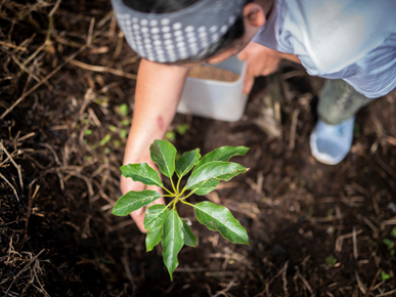
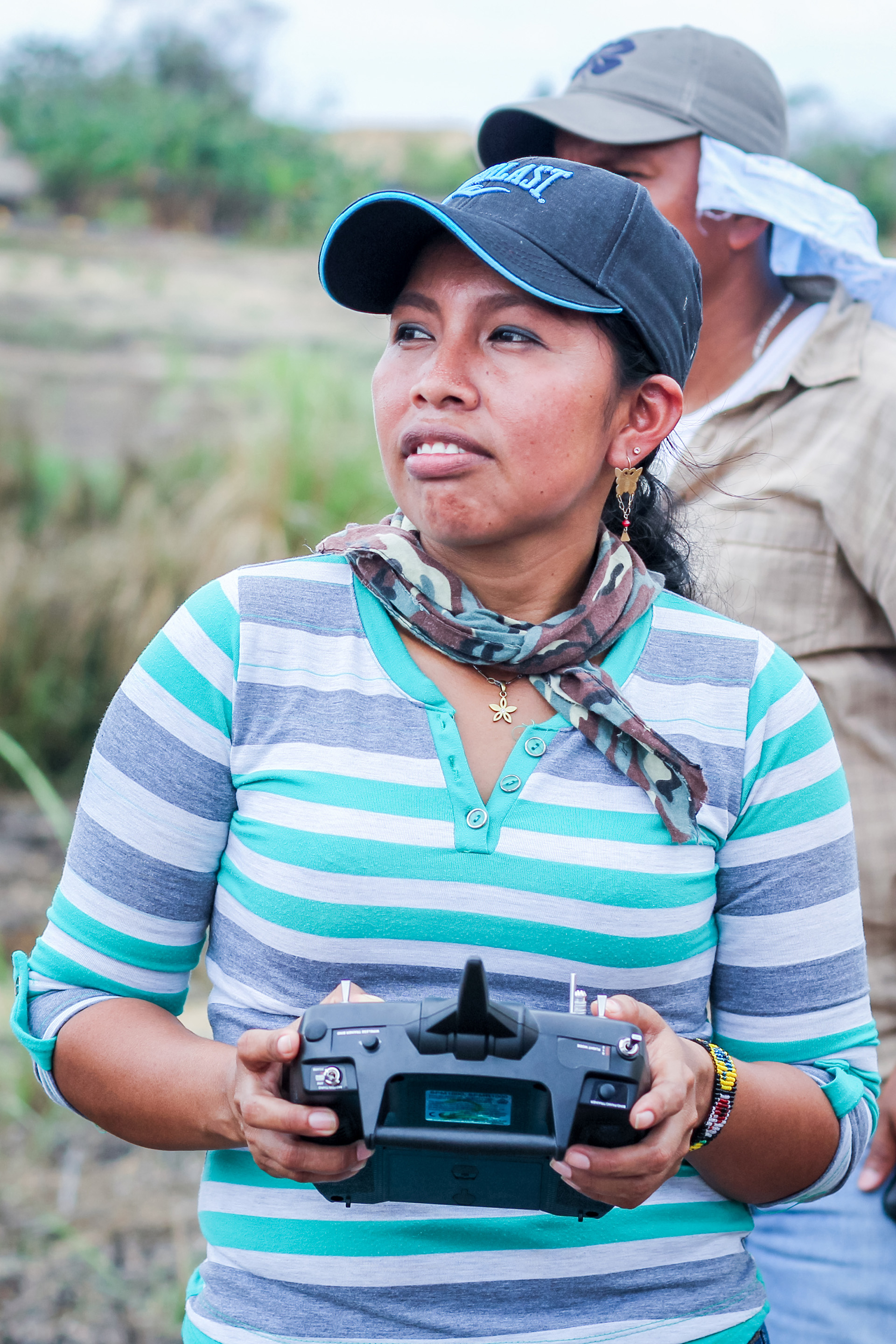
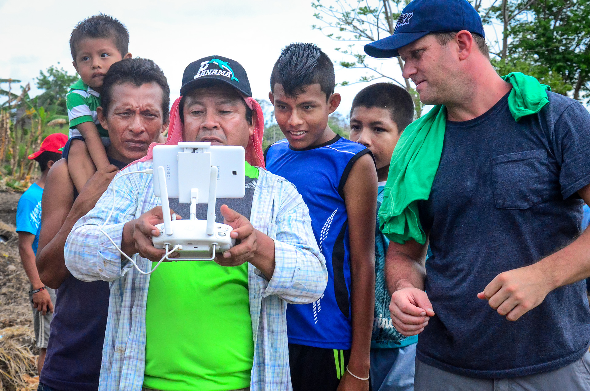
More than half of Panama is covered with forests, with more than one-third of those areas in indigenous territories. Since 2016, the country’s indigenous groups (Bribri, Bugle, Embera, Guna, Naso Tjër-Di, Ngäbe and Wounaan) teamed up with the UN-REDD Programme to monitor the forests using drones and other technology.
“This tool really allows us to get to know the characteristics of the forest and what recourse we have to preserve it.”
The innovation initiative
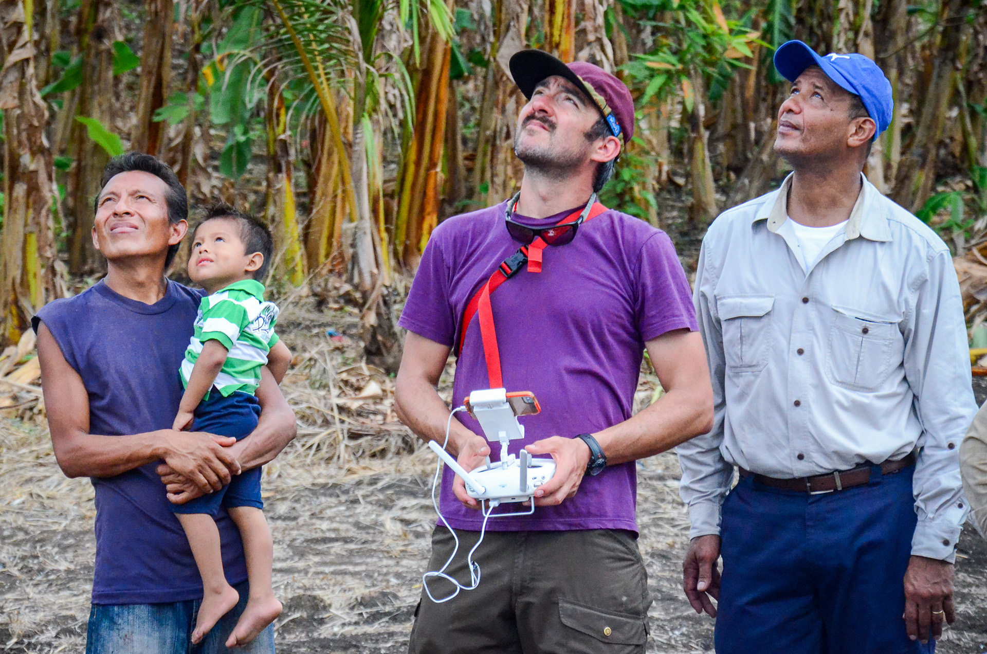
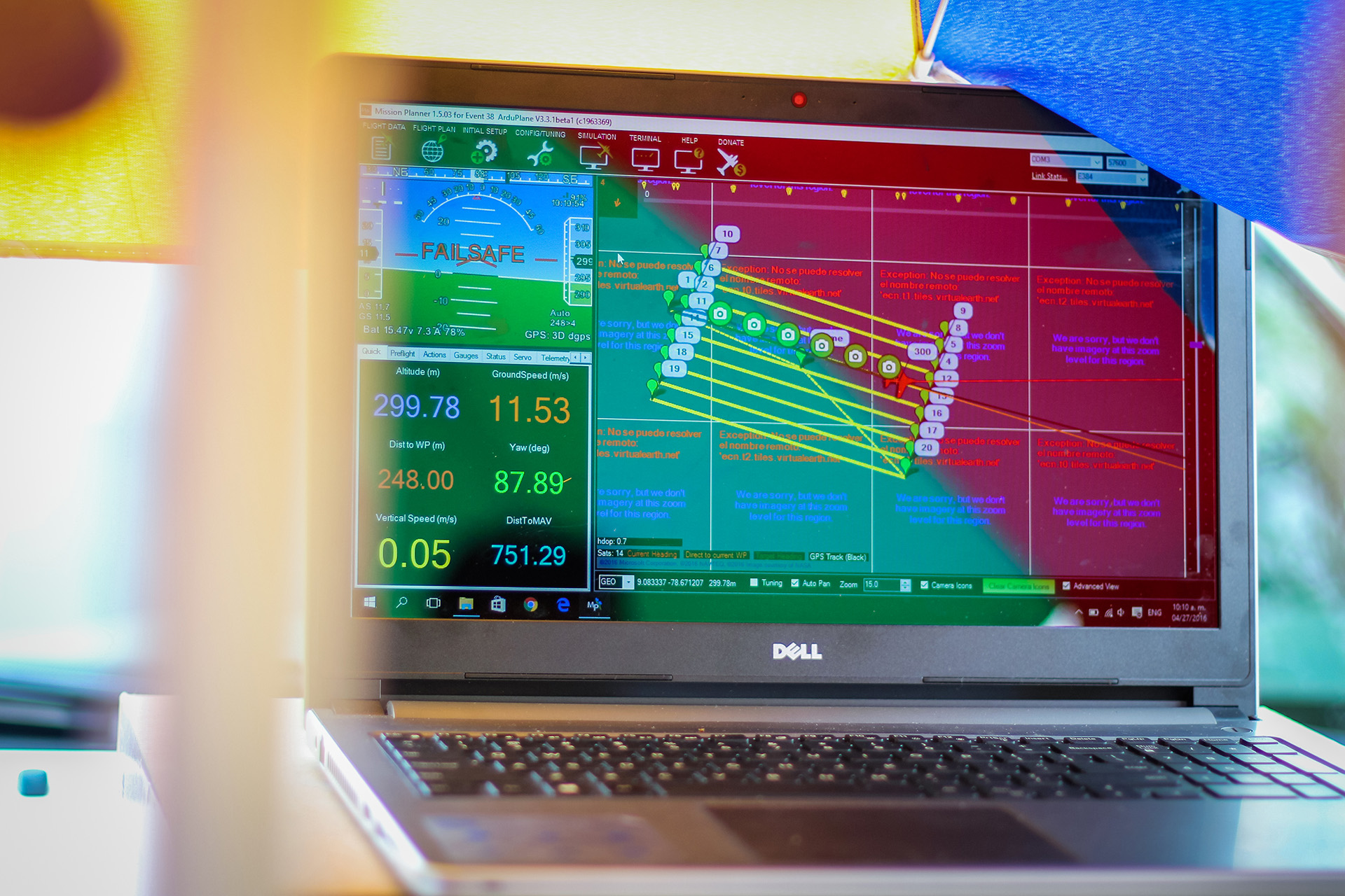
This innovative initiative combines technology and local knowledge to ensure the active participation of the local Indigenous community, while enhancing community forest monitoring efforts and sustainable forest management practices. A series of training workshops that began in early 2016 have seen volunteers from each tribe learning how to design flight plans, pilot drones and use aerial data to produce detailed maps of tribal lands. Drones also allow these communities to monitor crops, forest fires, harvests from farmlands, water sources and encroachments from logging, mining or ranching operations on indigenous territories.
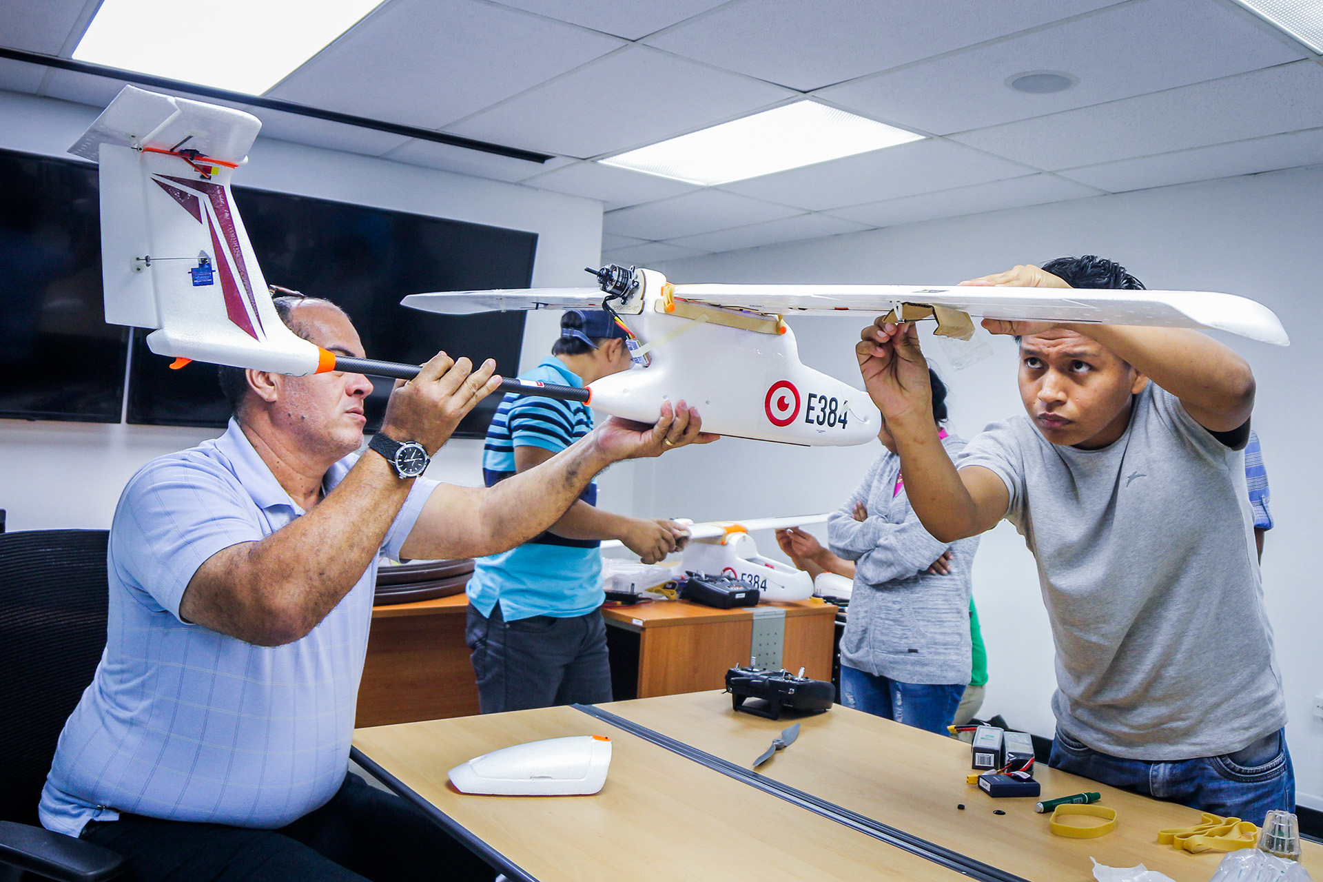

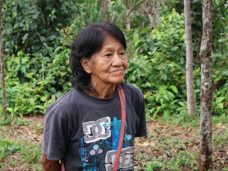
Indigenous technicians
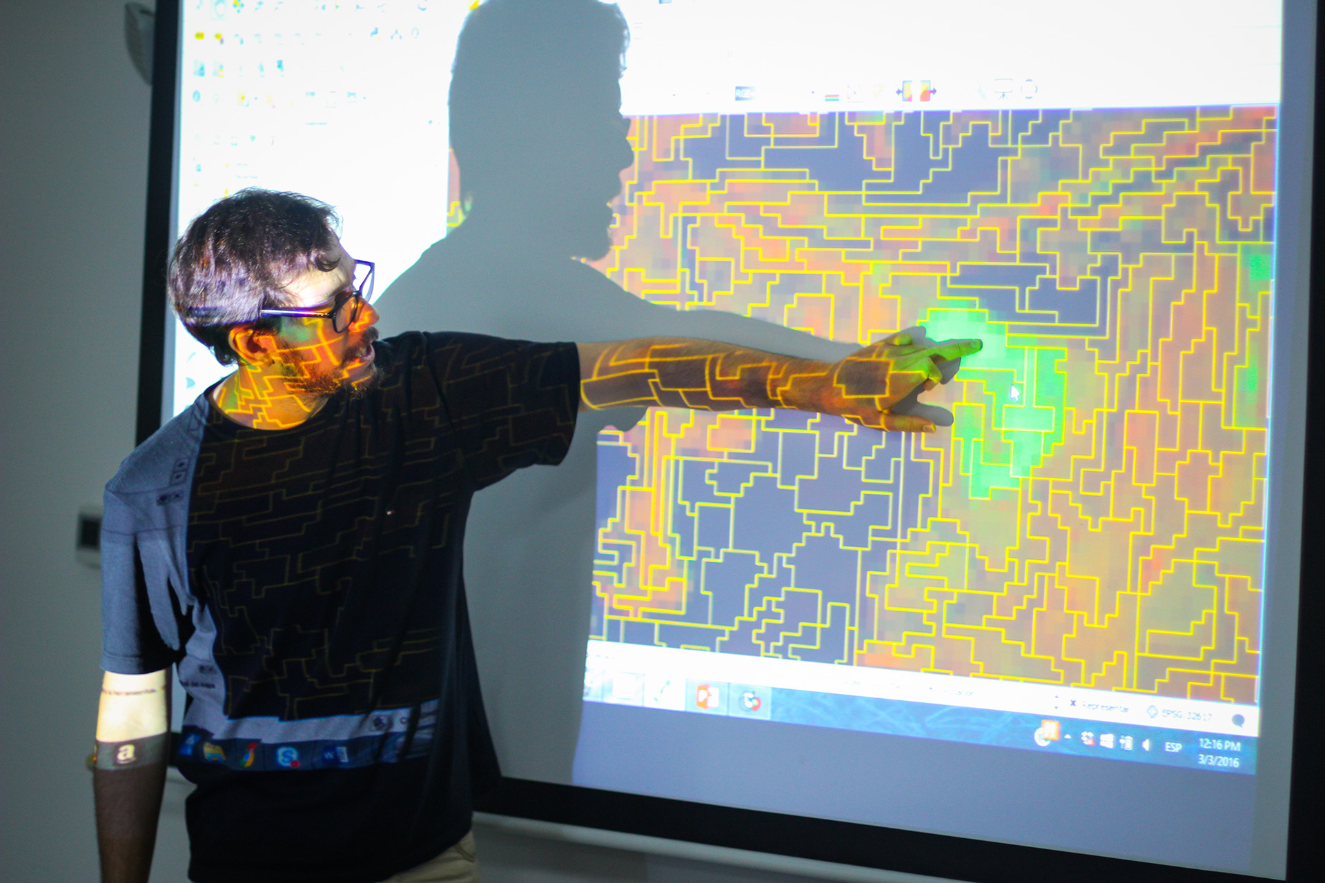
Indigenous technicians have also been trained in the fundamentals of cartography and Geographic Information Systems (GIS), geographic databases, spatial data processing tools, Google Earth tools and remote sensing. This training has strengthened the capacity of local technicians to generate information for the management of their territory and their natural resources, as well as to train other members of their communities.
“This tool really allows us to get to know the characteristics of the forest and what recourse we have to preserve it,” said Eliseo Quintero, a trained technician from the Ngabe-Bugle territory. “The surveillance is happening in areas where there is or will be deforestation or degradation.”

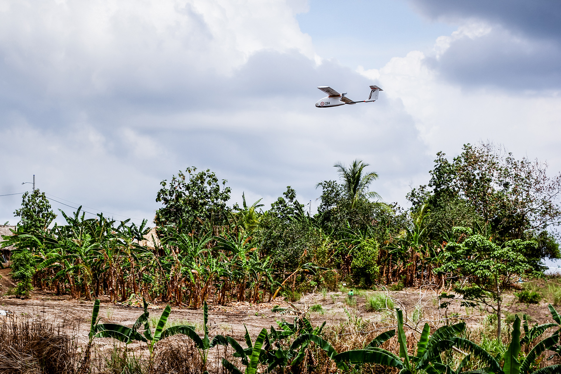
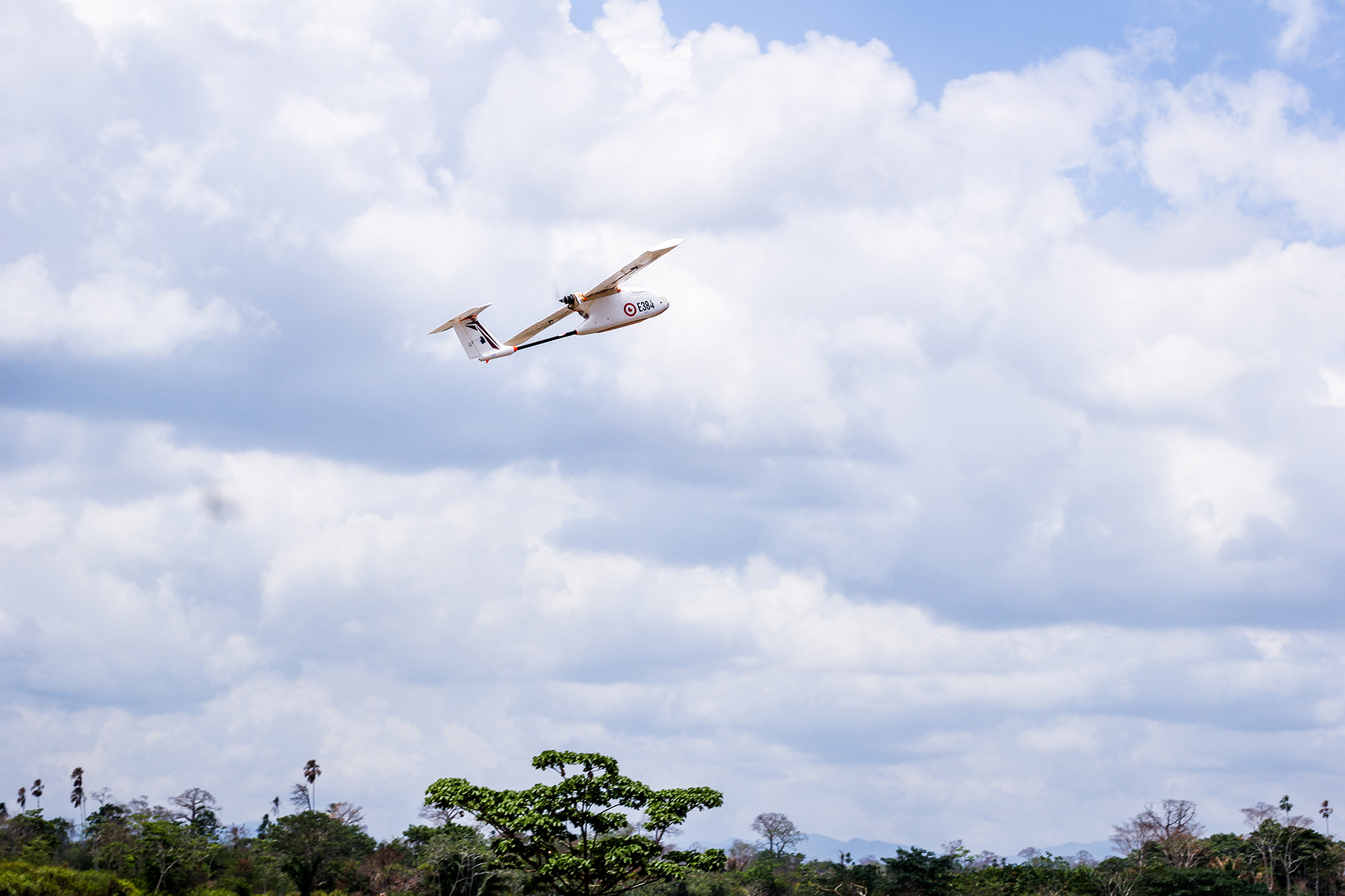
With the country’s rainy season making ground surveys impossible for half the year, the drones’ ability to cover remote areas from above makes them vital tools for forest monitoring. Beyond assessing forests, community monitoring is key to improving the management and conservation of natural resources in indigenous territories. Some indigenous participants have already developed maps and other documents to support land claims and a more integrated use of land.
The experience and knowledge learned by some of the indigenous technicians of Panama to support has led to south-south cooperation, in the form of workshops held in other countries, like Guatemala, Paraguay and Peru.
Overall, building capacity in forest monitoring – through drones and other technological tools – will help Panama reach its goal of increasing carbon absorption in its forests by 10 percent. It will improve community-based management and informed decision making. “The combination of land and remote sensing monitoring allows us to know the dynamics of loss, degradation and restoration of forest cover,” says Rafael Valdespino, a trained drone technician from the Embera-Wounaan territory.
By: UN-REDD COMMUNICATIONS TEAM
More stories of change