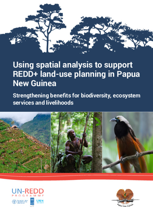
Using Spatial Analysis to Support REDD+ Land-Use Planning in Papua New Guinea: Strengthening Benefits for Biodiversity, Ecosystem Services and Livelihoods [High resolution]

Using Spatial Analysis to Support REDD+ Land-Use Planning in Papua New Guinea: Strengthening Benefits for Biodiversity, Ecosystem Services and Livelihoods
Some of the analyses presented here were developed by national technicians in joint working sessions. This contributed to building national capacity in spatial analysis, access to relevant datasets and the use of decision support tools. As more and better data becomes available, the analyses presented here could be updated to provide better support for planning, including at a sub-national scale. We encourage follow-up work to build on the analyses presented here and to capitalize on the enhanced in country capacity for spatial analysis for evidence-based decision-making.
Download the resource
Format: application/pdf
Size: (66.952 MB)
Size: (66.952 MB)


