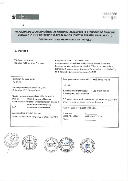
Home Document Library Document library Country Argentina (1) Bangladesh (1) Cambodia (2) Chile (1) Colombia (2) Côte d'Ivoire (5) Democratic Republic of the Congo (the) (1) Honduras (1) Indonesia (15) Kenya (1) Mexico (1) Mongolia (2) Myanmar (8) Nigeria (2) Panama (1) Papua New Guinea (4) Paraguay (2) Peru (1) Sri Lanka (2) Uganda (4) Viet Nam (11) Zambia (2) Region Africa (35) Asia-Pacific (52) Global (30) Latin America and the Caribbean (12) Publish date 2026 (9) 2025 (42) (-) 2024 (31) 2023 (82) 2022 (151) 2021 (24) 2020 (79) 2019 (206) (-) 2018 (460) 2017 (460) 2016 (593) 2015 (1097) 2014 (1521) 2013 (2183) 2012 (1887) 2011 (1212) 2010 (1521) 2009 (835) Language English (95) French (9) Other (4) Spanish (52) Work area Forest landscape restoration (3) Forest positive agriculture & food systems (1) Forest tenure, governance & carbon rights (8) Gender equality (3) National forest monitoring (9) NDC forest ambitions (1) REDD+ finance (4) Safeguards & multiple benefits (23) Social inclusion (32) Document type Annual report (18) Brief series (3) Country document (43) Foundation documents (1) Progress Reports (3) Technical Report (35) Sort by Authored on Order AscDesc Showing 478 - 486 of 491 results Latest Oldest 23 Jan, 2018UN-REDD Programme Integrated Land-Use Planning for REDD+: Lessons from Combining Spatial Analysis and Participatory Approaches at the Sub-National Level in Viet Nam [ENG_Low resolution] Download English Technical Report 23 Jan, 2018UN-REDD Programme Integrated land-use planning for REDD+: lessons from combining spatial analysis and participatory approaches at the sub-national level in Viet Nam [ENG_High resolution] Download English 15 Jan, 2018UN-REDD Programme Using spatial analysis to explore potential for multiple benefits from REDD+ in Mongolia [English] Download English 11 Jan, 2018UN-REDD Programme Guía tutorial v1.0: Cómo extraer y procesar datos de especies de la Lista Roja de la UICN utilizando un método raster con ArcGIS 10.3 Download English 11 Jan, 2018UN-REDD Programme Guía tutorial Versión 1.0: Cómo evaluar la importancia de los bosques para la provisión de agua y el control de la erosión del suelo - Un enfoque de modelización con WaterWorld Download English 10 Jan, 2018UN-REDD Programme Guía tutorial v1.0: Cómo elaborar una leyenda tipo matriz con datos raster, utilizando ArcGIS 10.0 (GIS Tutorial 10: How to produce a matrix style legend with raster data using ArcGIS 10.0) Download English 10 Jan, 2018UN-REDD Programme Tutoriel pas à pas Version 1.0 : Construire des flux d'opérations spatiales pour aider à identifier les aires potentielles pour l'entreprise d'une intervention REDD+ utilisant le Modeleur Graphique dans QGIS 2.14.x Download English 10 Jan, 2018UN-REDD Programme UN-REDD Peru National Programme Document Download English 10 Jan, 2018UN-REDD Programme UN-REDD Chile National Programme Document Download English Pagination First page First Previous page … Page 47 Page 48 Page 49 Page 50 Page 51 Page 52 Page 53 Current page 54 Page 55 Next page Last page Last