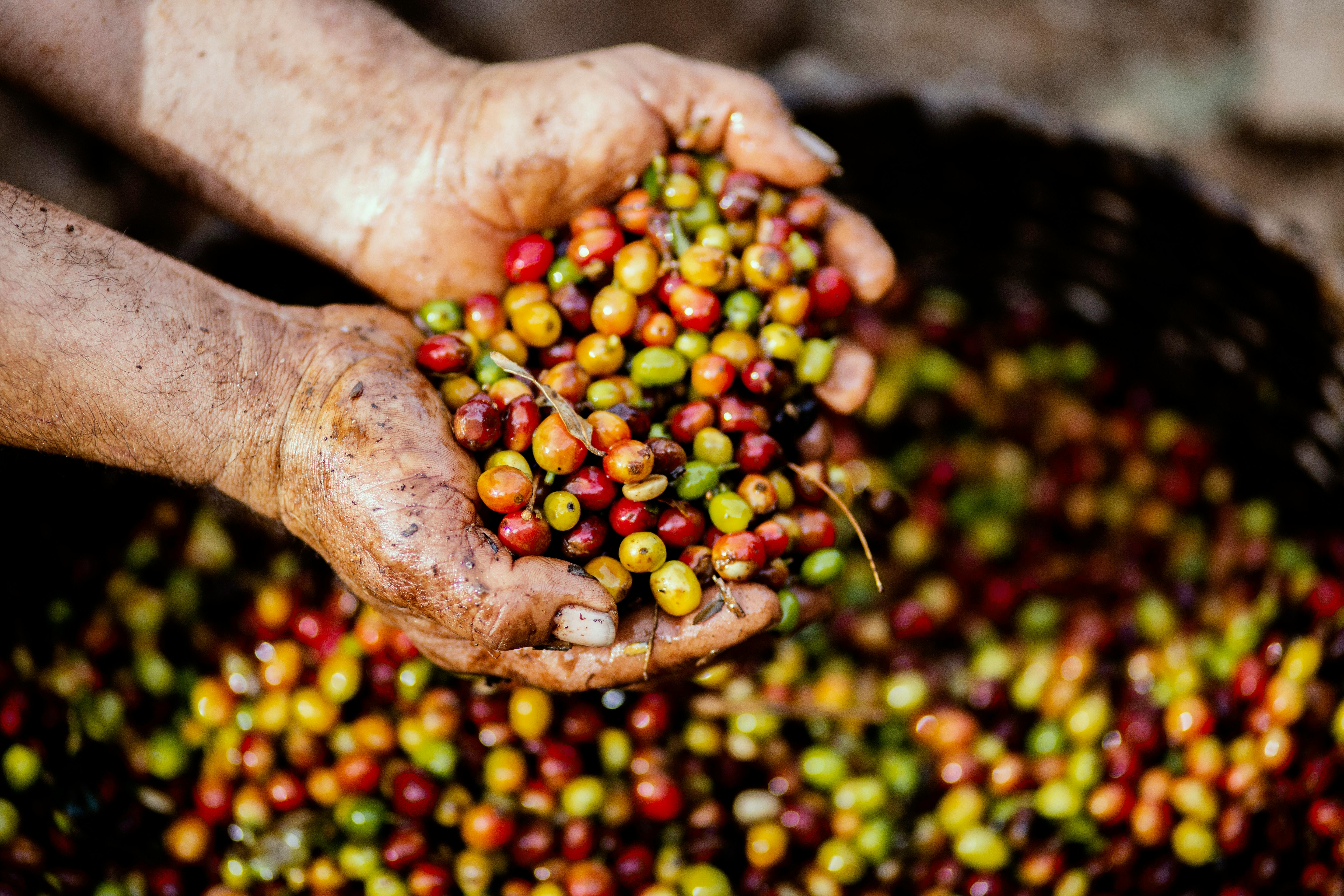
Forests play an essential role in climate change mitigation, with strong momentum for Nature-based Solutions (NBS). Recognizing that reducing fossil fuel emissions remains the top priority, increased attention is given to initiatives like REDD+ to contribute to climate change mitigation. This is illustrated by the recent approval of ART-TREES, a new REDD+ standard for quantifying, monitoring, reporting and verifying emission reductions at scale that will help the international aviation industry achieve carbon-neutral growth after 2020 and help private sector offsetting.
For more than a decade, the UN-REDD Programme has supported countries in preparing for REDD+. To date, 54 countries have submitted a FREL/FRL to the the United Nations Framework Convention on Climate Change (UNFCCC) indicating their willingness to contribute to climate change mitigation through improved forest management. To help address recent demand for quality emission reductions, UN-REDD will support countries in their efforts to achieve and report emission reductions that can then be used to offset emissions from other sectors, for example through ART-TREES certification.
But offsetting requires reliable and trustworthy results, going well beyond REDD+ reporting requirements from the UNFCCC. Confidence in REDD+ results needs to be achieved through monitoring and reporting that uses high-quality data. A recently published articlehighlights efforts to improve data quality for REDD+ monitoring by Mexico, Cambodia and Ghana. It shows how deforestation estimates based on post-classification (assessing change by comparing independently created image classifications for two different points in time) can contain significant bias. It also shows how extracting area statistics directly from map classifications (pixel counting) does not remove such bias or assesses uncertainty levels (confidence intervals) around them.
In Mexico, a post-classification assessment (first reference level submission in 2015) was replaced by a systematic sample estimate (second reference level submission in 2020). The new, more accurate data suggested the initial deforestation assessment to be overestimated by a factor three.
In Cambodia, improved stratified area estimates revealed that the pixel count-based assessment of emission reductions from reduced deforestation was over-estimated by a factor 16.
In Ghana, a pixel-count based assessment of deforestation for the Carbon Fund was replaced by a systematic sample-based estimate. The new data revealed that deforestation was a factor 15 lower than the pixel based estimate, which included many false changes as a result of amongst others the tree crop dynamics in the landscape.
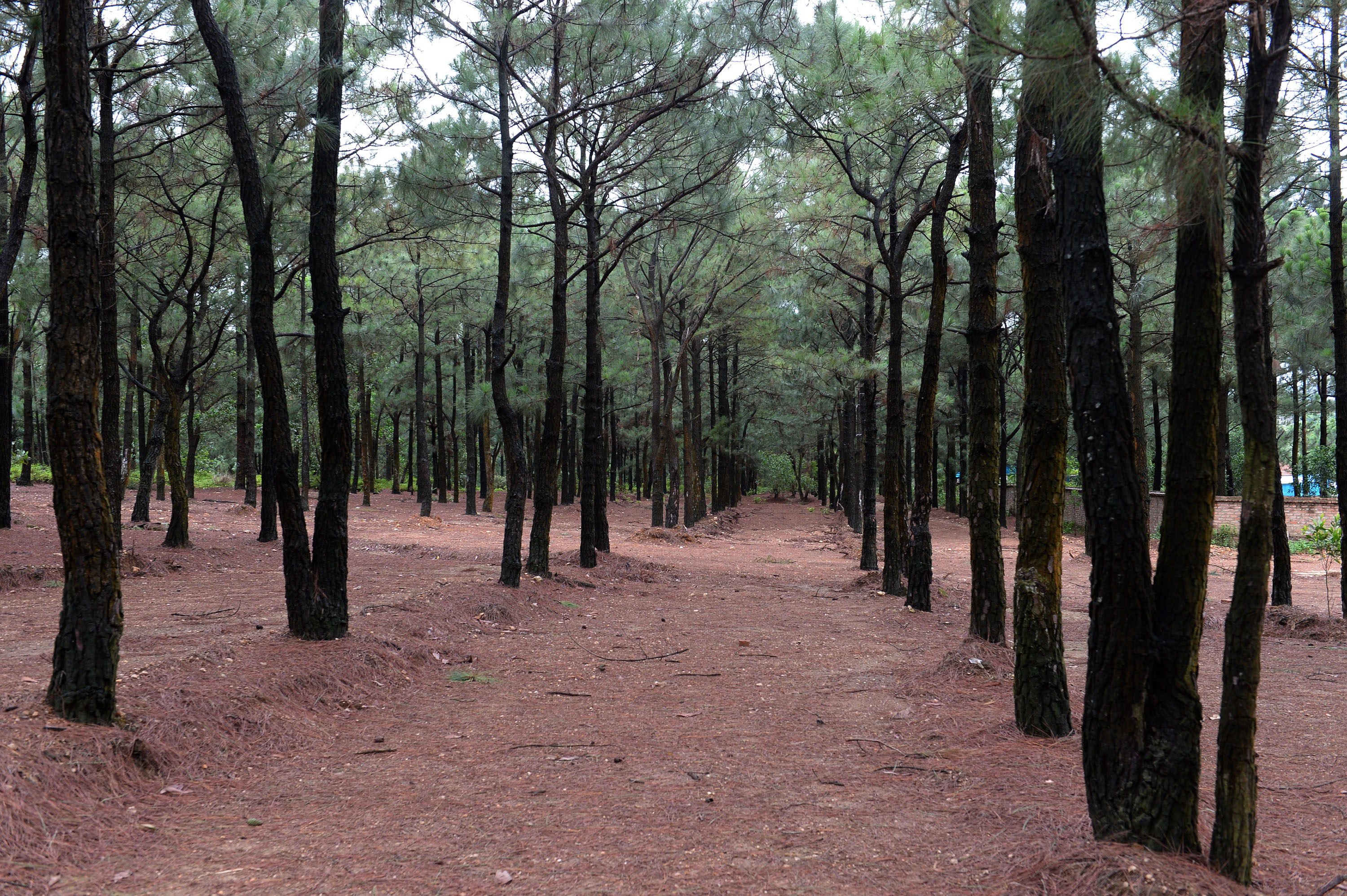
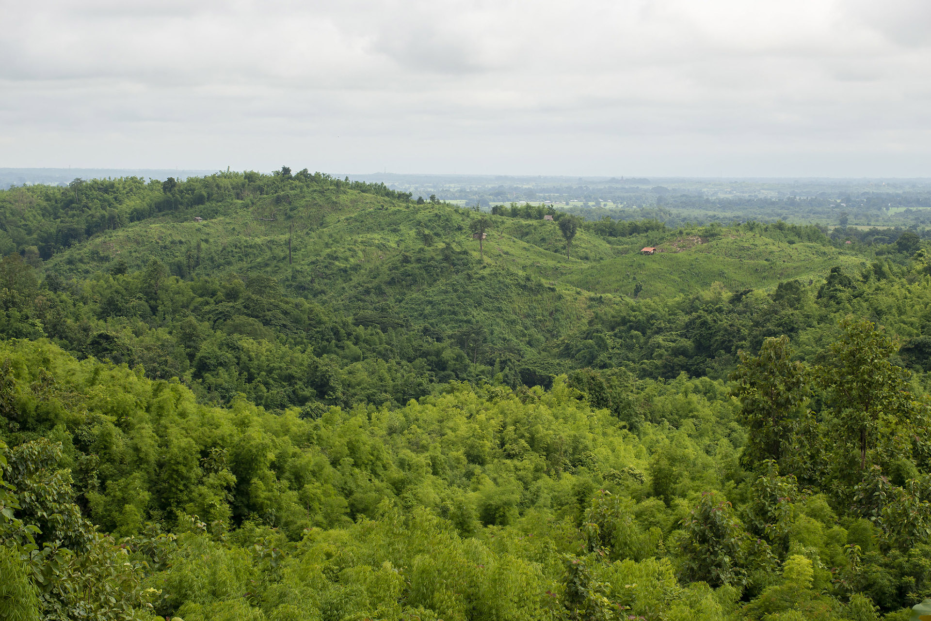
These country experiences show the differences between deforestation areas assessed directly from maps versus improved sample-based estimates, highlighting significant changes in both the magnitude and trend of assessed deforestation from both methods. This illustrates that merely reporting to the UNFCCC is not a sufficient guarantee for the achievement of quality REDD+ results. Rather, continued efforts are needed for reliable reporting. Norway's International Climate and Forest Initiative’s (NICFI) recent purchase of high-resolution imagery, made available to a broad range of countries, is expected to play a key role in improving deforestation area estimates. The hi-res imagery could provide a breakthrough in degradation assessments, an activity often omitted by countries because of the challenge in obtaining reliable estimates. Supporting countries in continually increasing the quality of deforestation and degradation area estimates will also support more efficient allocation of finance for REDD+ results-based payments.