A new land cover tool originally developed for southeast Asia is now being expanded globally.
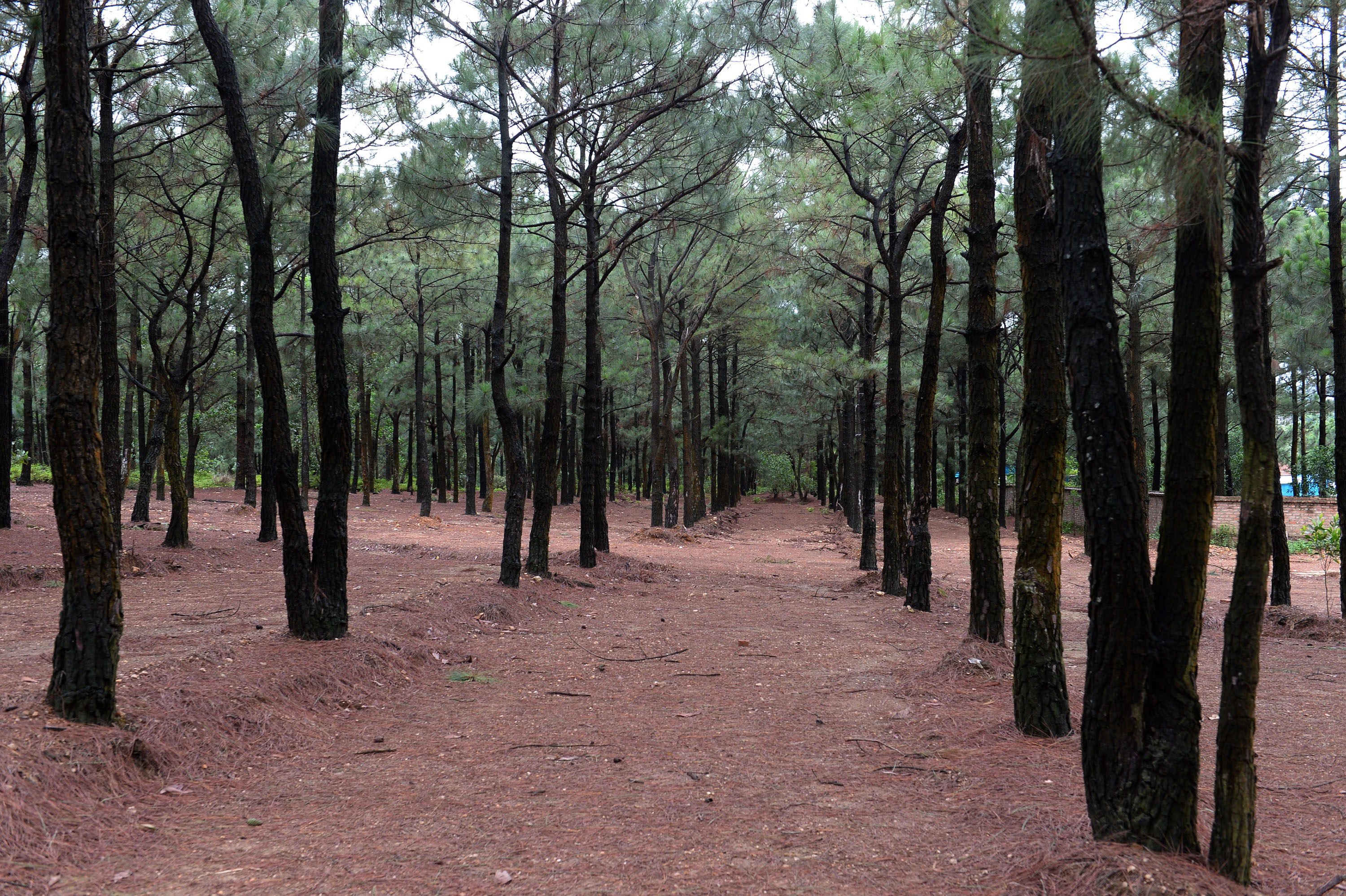
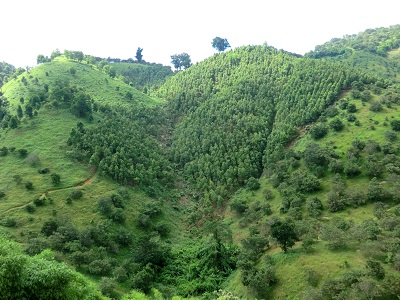
“Land cover mapping in the lower Mekong has been challenging in the past, based primarily on outdated maps using different criteria,” said Dr. David Saah, Professor at the University of San Francisco and Managing Principal of the Spatial Informatics Group (SIG). Competing objectives, priorities and resource limitations, in the Mekong and beyond, often mean differential treatment and sometimes omission of key land cover features. For example, forest ministries focus on mapping forest biodiversity, structure, condition, and use. Agriculture departments typically mask out forest cover, displaying features like irrigation treatments, crop type, and yield. In both cases, critical land cover categories such as water and urban areas are missed. Even identical features like orchards often are mapped using different methods, preventing easy comparison and complicating landscape-level analysis.
To address these challenges, SERVIR–a joint NASA and USAID program that partners with leading global technical organizations applying satellite data to development challenges–began developing a regional land cover mapping service in 2016 to support countries with food security, forest management, water management and more. Saah and the SERVIR-Mekong team soon hit a familiar roadblock with respect to monitoring land cover and land use change: a lack of consistent, accurate reference data. To resolve this, a massive amount of data was needed–and quickly. After looking at existing collection platforms and not finding a service able to do this type of landscape-level mapping, they set out to create something new. The team realized their ideal platform had similarities to FAO’s desktop Collect Earth system, used to monitor global forest cover. “We found out a lot of our initiatives and priorities fell in line with FAO, not just Collect Earth. The whole idea of things being open-source, distributed for people to use...ties into the way FAO does land management and governance consultations,” said Saah. Identifying a collaboration opportunity, SERVIR and FAO partnered to create a joint, web-based system, known as Collect Earth Online (CEO).
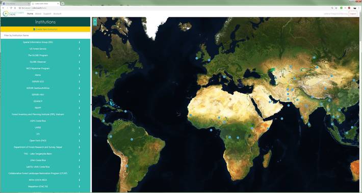
Two years and three iterations later, CEO now has a much broader geographic reach. Integrating high-resolution satellite imagery and big-data analysis tools, the platform allows users to collect reference data and images from anywhere in the world to create more accurate land cover maps. In addition, its open-source and cloud-based design makes CEO especially crucial for regions with limited internet and local computing infrastructure capabilities.
“On the NASA side, we’re good at product development, data, and science, whereas FAO understands the users, the landscape, what data is needed, and how people are collecting data for forests,” said Kel Markert, SERVIR’s Science and Geospatial IT Integration lead.
“With the technical knowledge from our team, and the on-the-ground knowledge from FAO, we’re able to make something that’s really meaningful,” said Markert.
Starting in March, the Forest Survey of India plans to use CEO for its first high-level collection campaign in Dehradun. The results of this assessment will be incorporated into the 2020 Global Forest Resources Assessment (FRA), covering more than 100 countries. CEO’s collaborative origins and support from Google Earth Engine, the U.S. government’s SilvaCarbon program, and others have made the platform a first-of-its-kind repository for global land cover reference data.
Collect Earth Online can be accessed at http://collect.earth/